In recent decades, controlling the movement of vehicles in the city and the construction of axes and special pedestrian paths have attracted much attention as ways to encourage the presence of people in urban spaces.
The importance of such solutions has caused the plan to create walkways in the historical zone, as one of the priority plans in the comprehensive plan for the city Tehran.
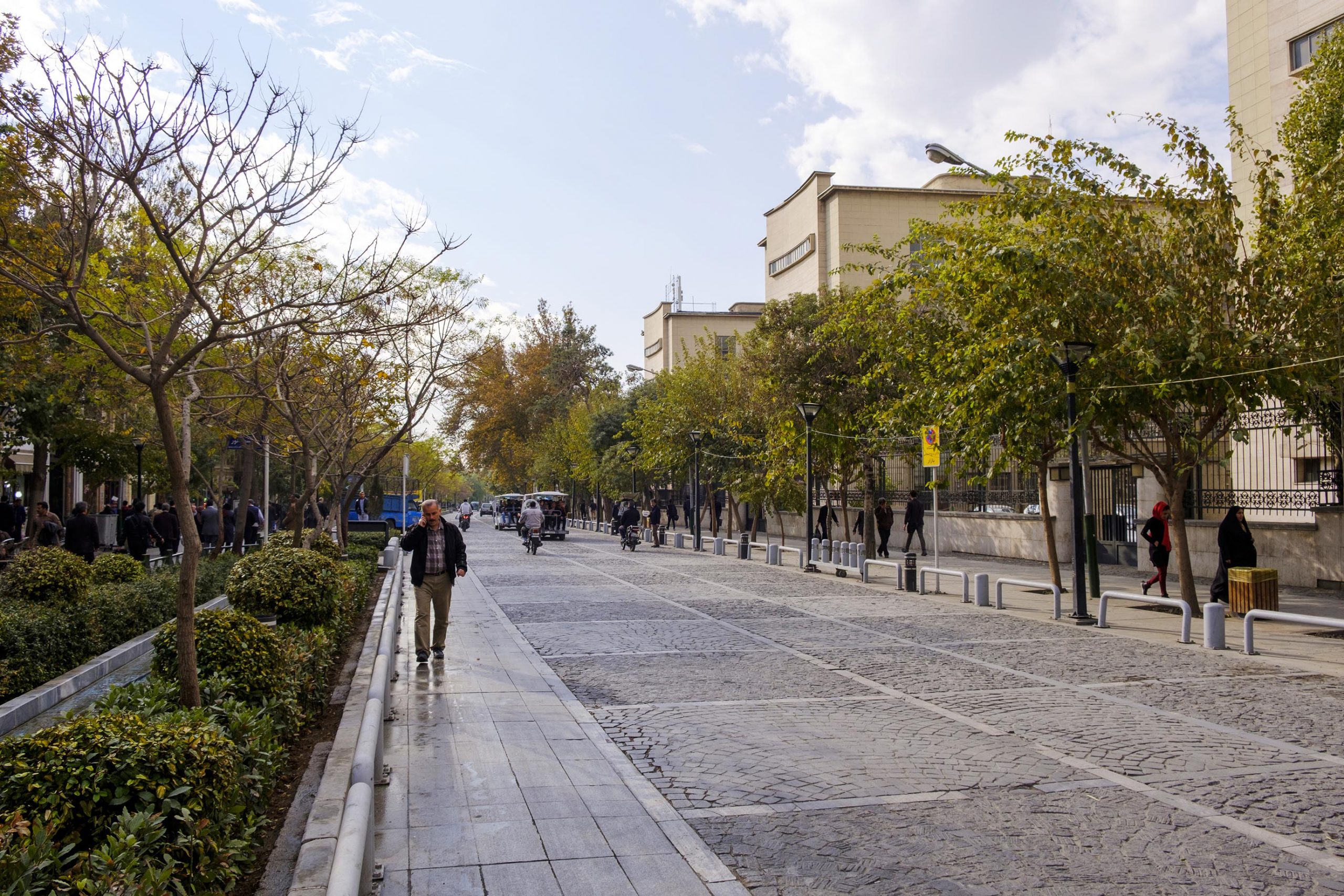
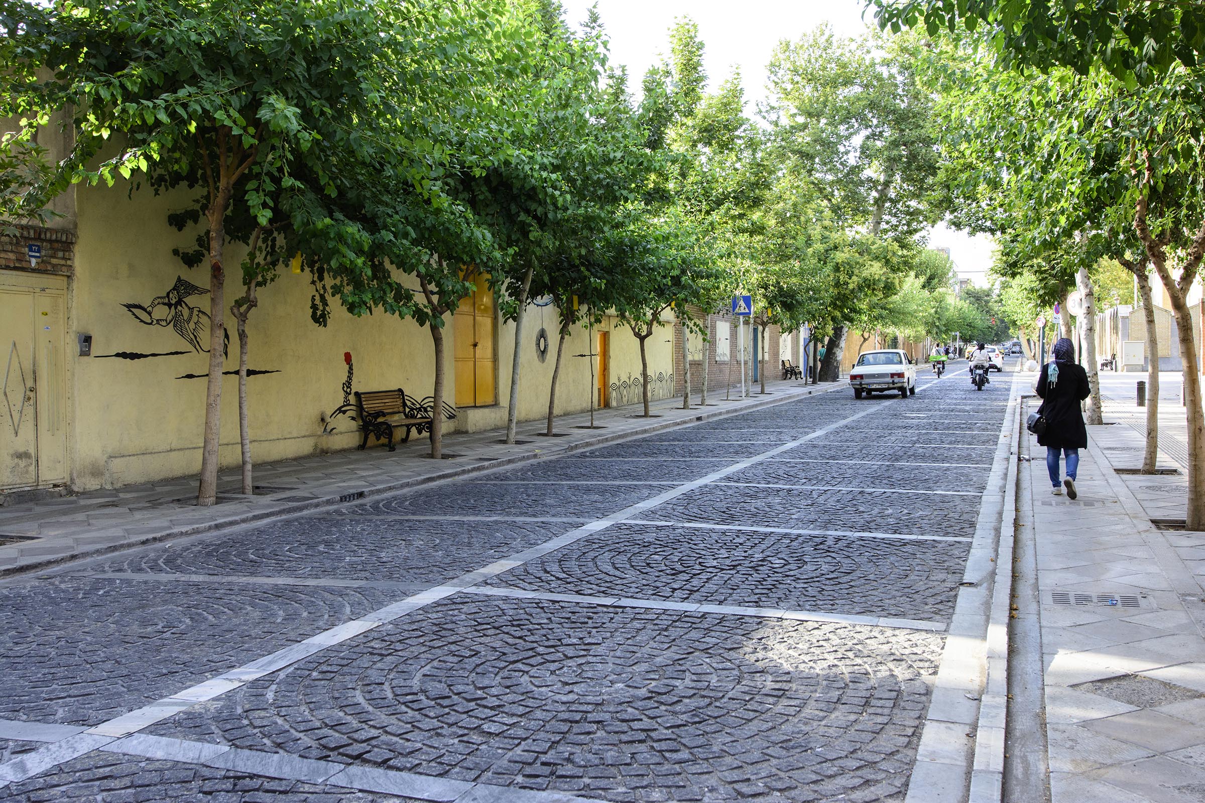
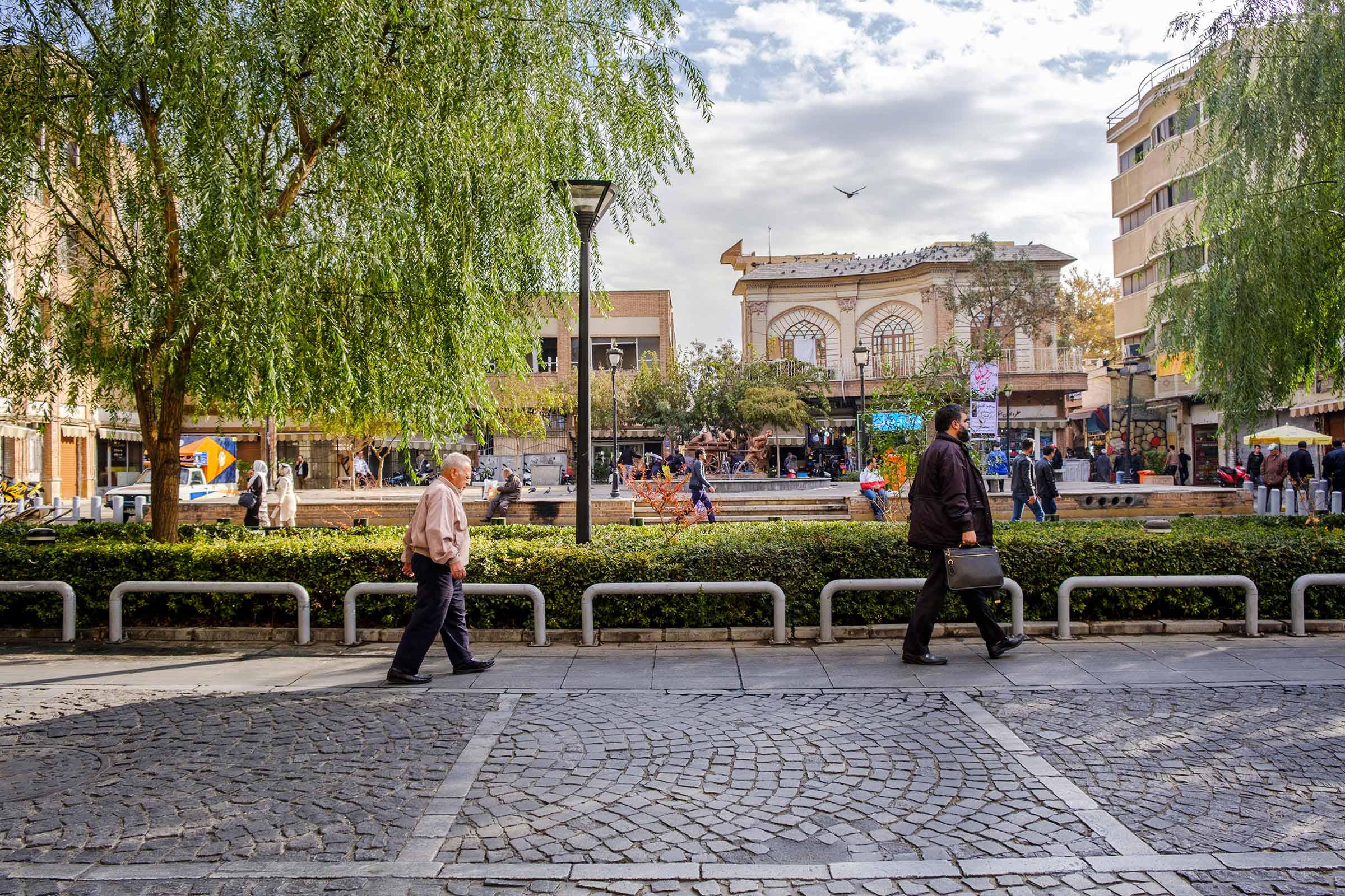
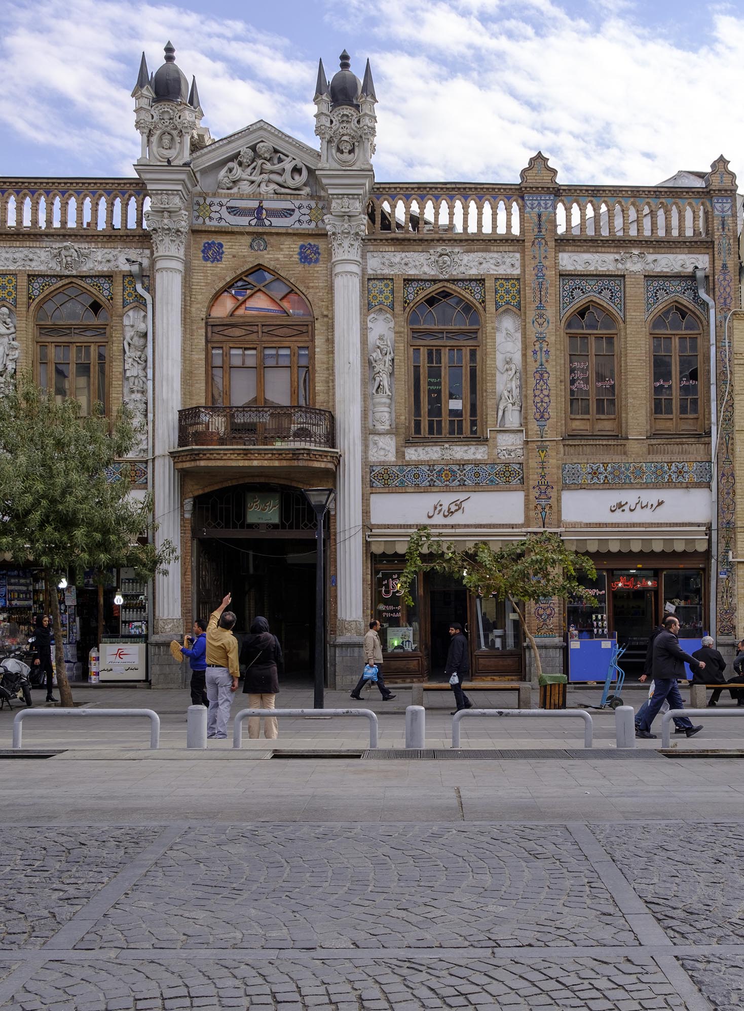
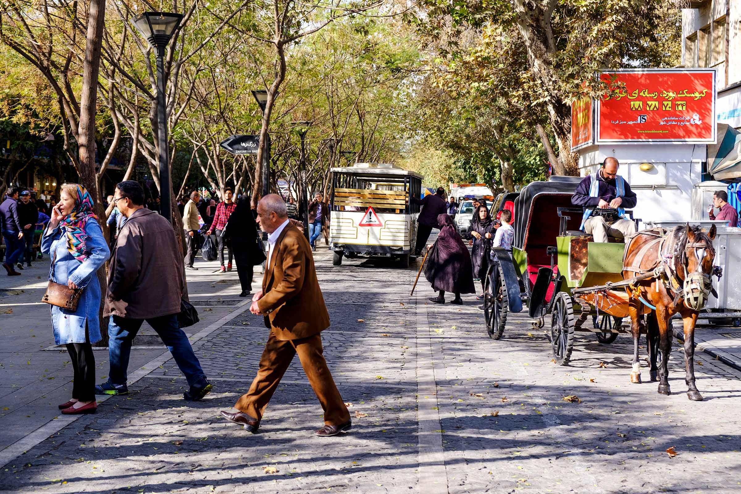
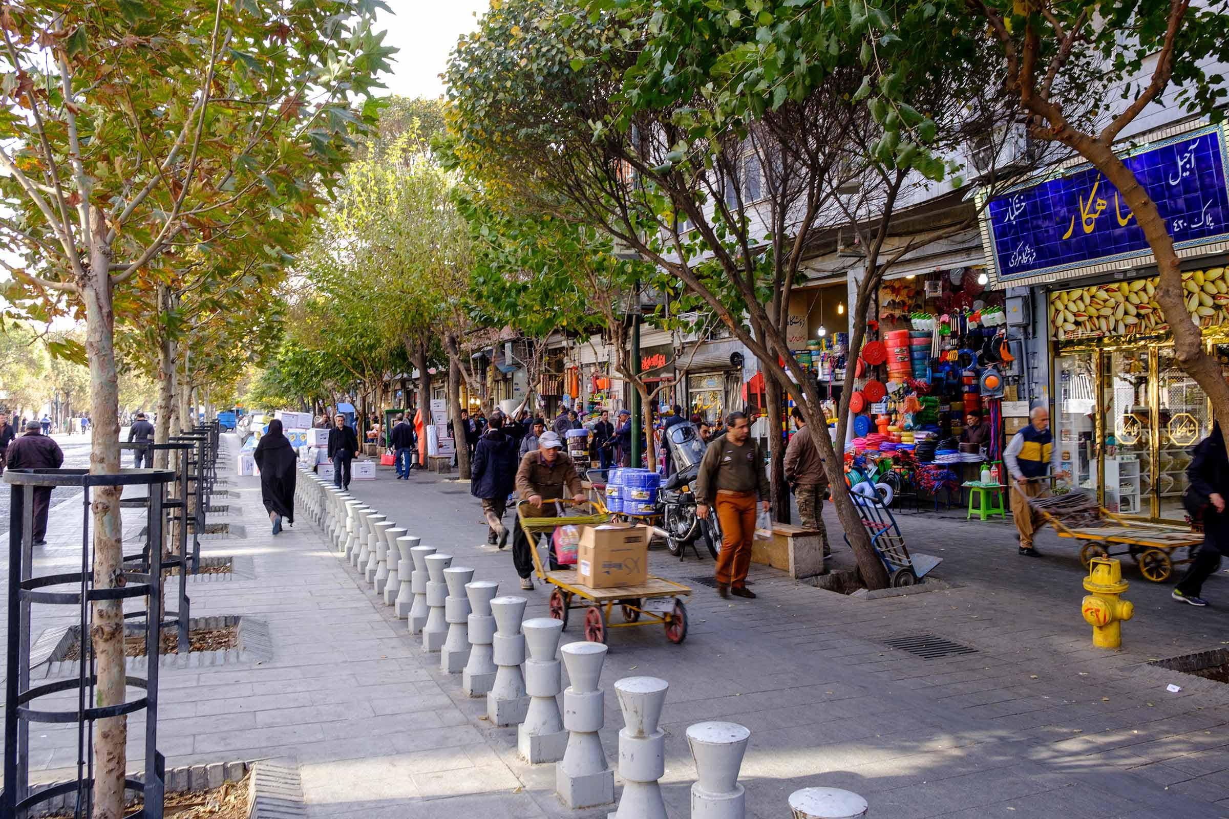
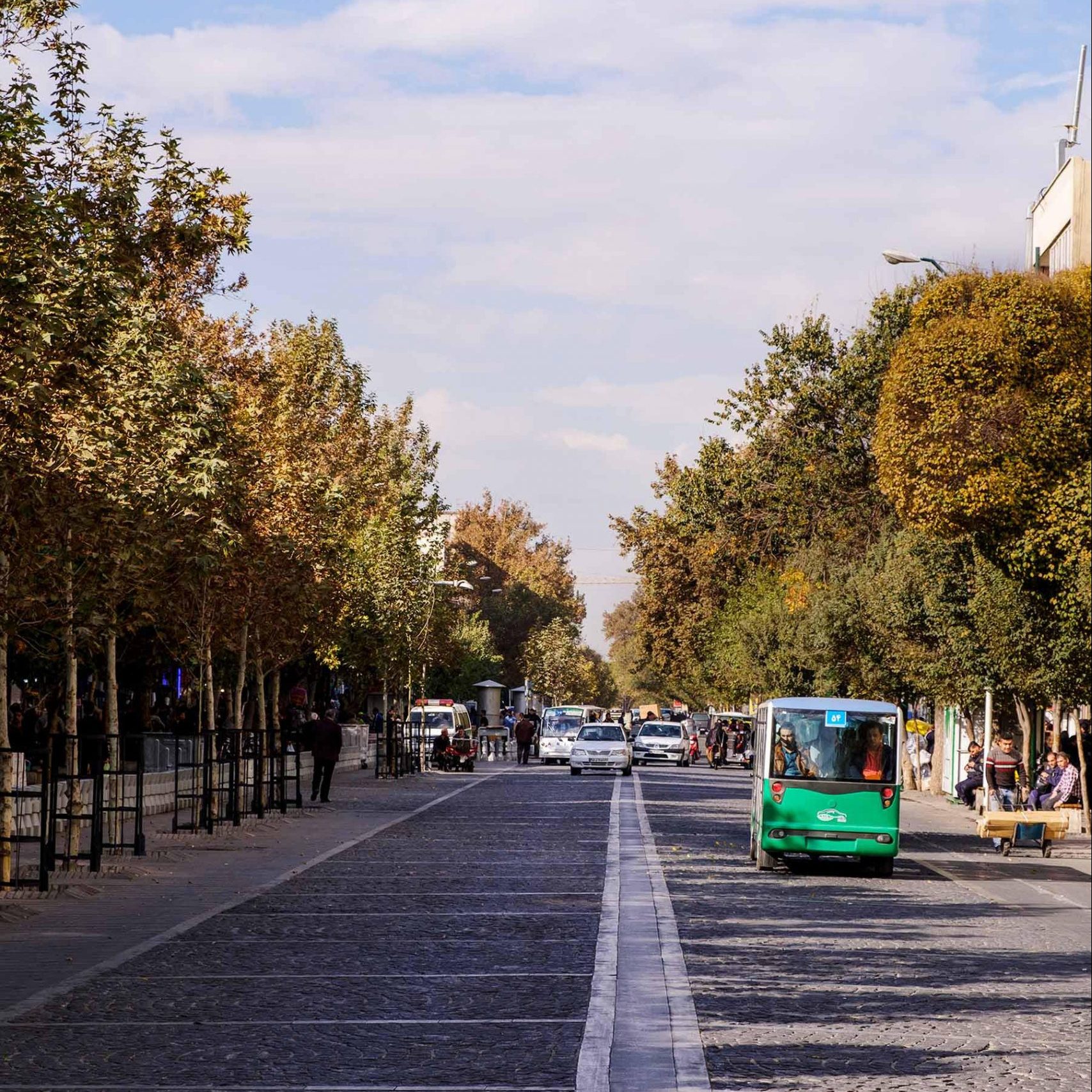
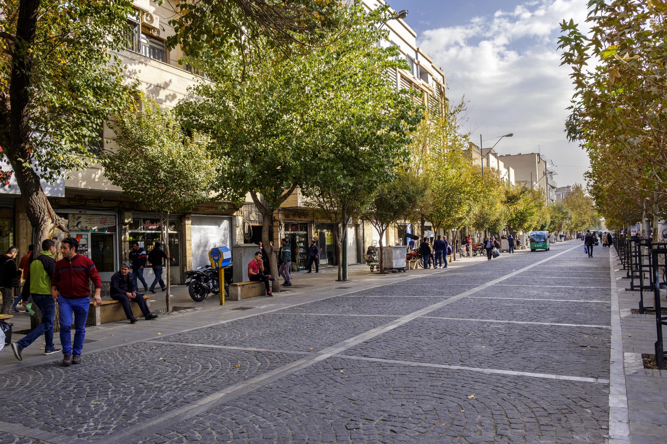
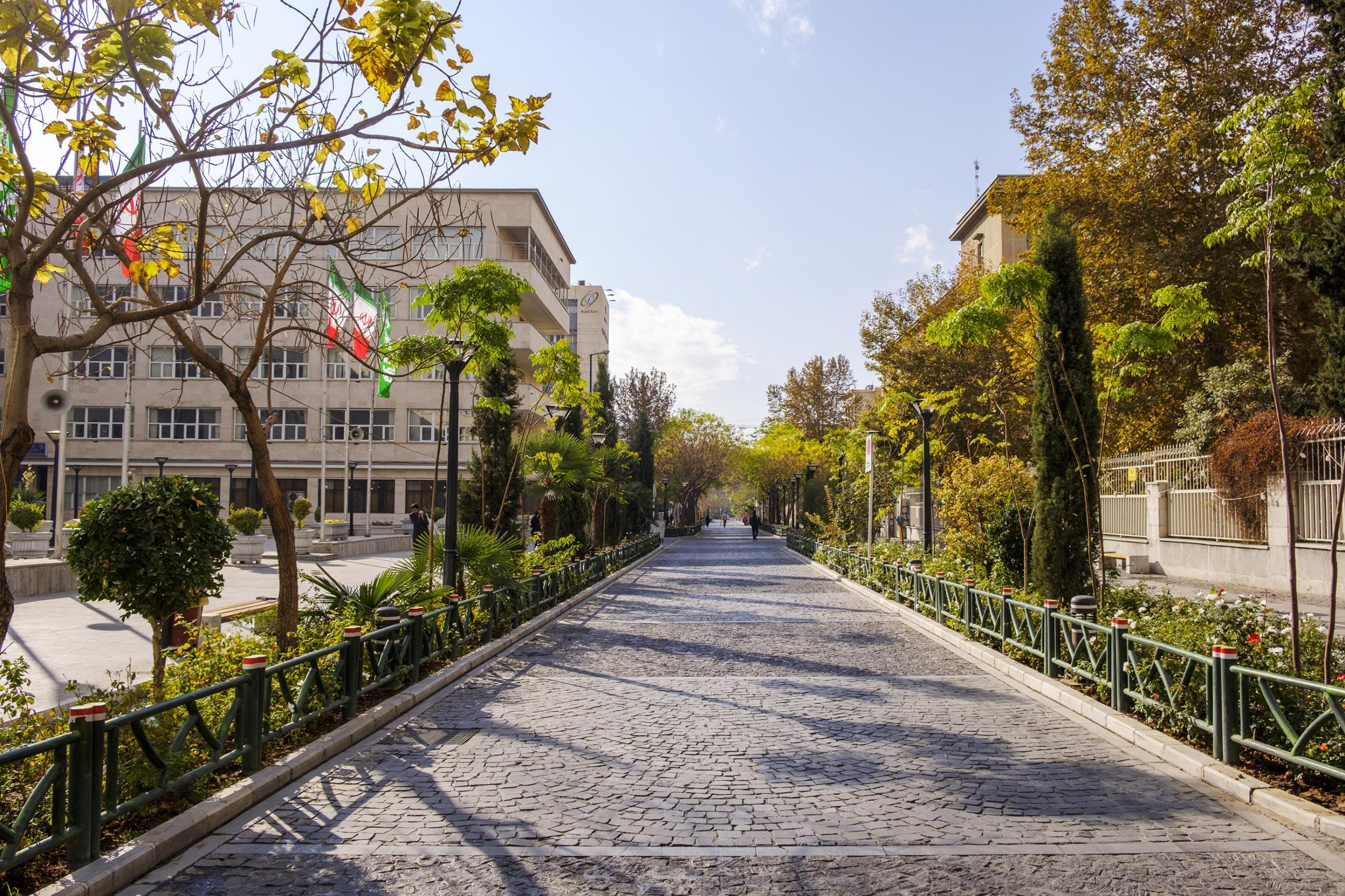
In 2011, the plan to create walkways in the historical zone of Tehran, in order to reduce the traffic and to create walking paths, bicycle lanes, and public transport inside the Safavid old wall, in an area of 697 hectares was commissioned by Tehran Municipality.
This plan has been implemented in two strategic and immediate fields:
The strategic area (Old Naseri walls of Tehran) in terms of urban divisions, corresponds to the 12th district and parts of the 11th district of Tehran and is located in the area bounded to Enghelab streets from the north, Kargar from the west, 17 Shahrivar from the east and Shush from the south. The immediate field is limited to Jomhouri Street from the north, Rey Street from the east, Molavi Street from the south, and Vahdat-e-Islami Street from the west.
From the results of this strategic plan in the area of Naseri and Safavi walls, we can mention the dominance of the pedestrian to car axes and equipping the walkways with urban furniture in accordance with the needs of all citizens.